Art
My art creations!
Table of contents
Artistic Maps
I have been hand drawing maps since I was 14 years old. In the old days I used pencil and paper nowadays I use Procreate and Adobe Illustrator.
### Geology of Southern Norway 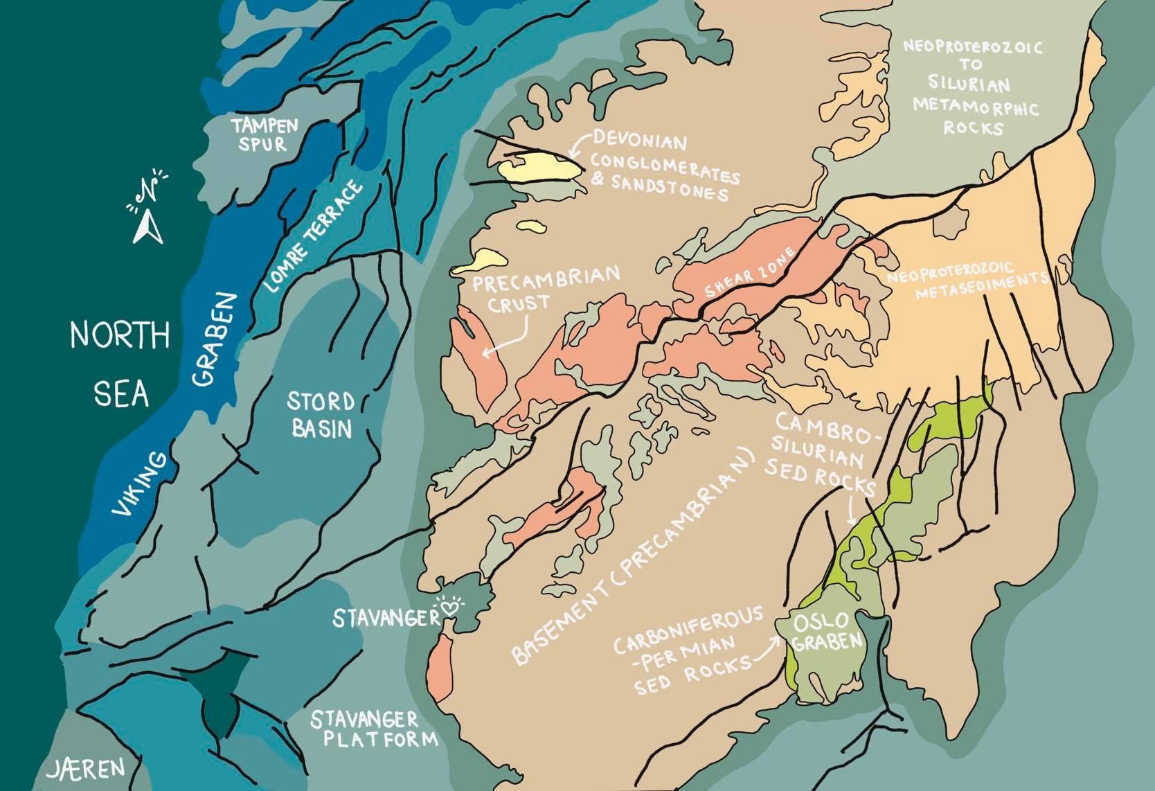
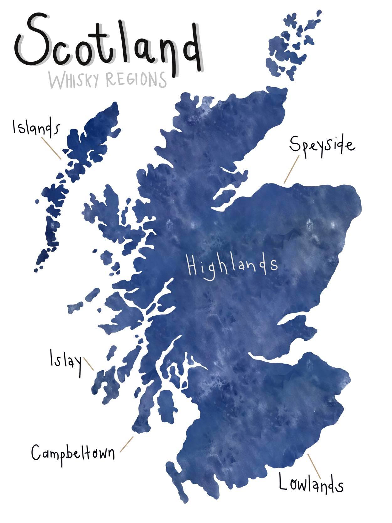
Scotland Whisky Regions
Illustrations
Illustrations created in Adobe Illustrator and Procreate.
Retro Grad
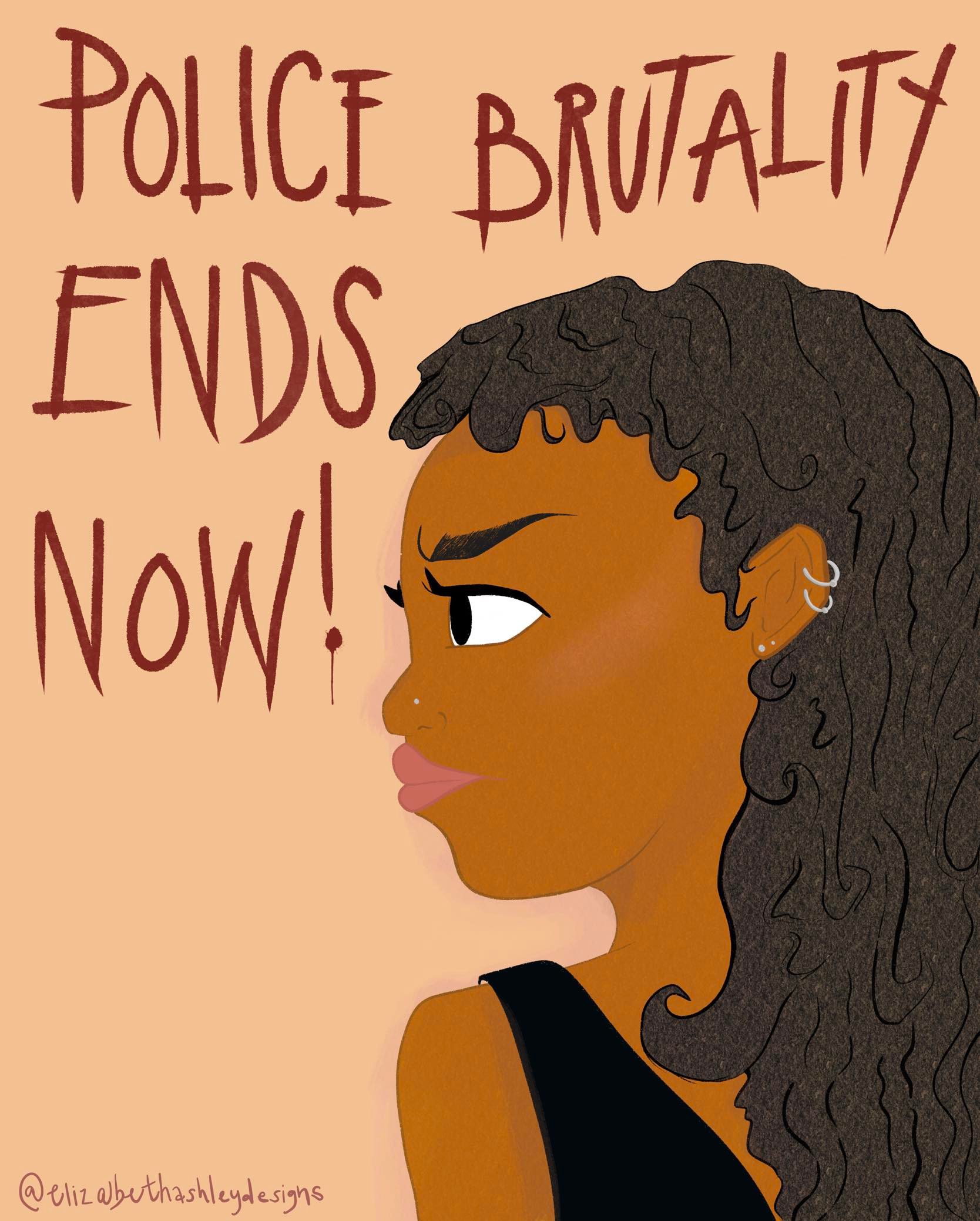
Black Lives Matter (BLM)
Scientific Figures
Figure 1
Sentinel Satellite retrieval orbit path for my research. 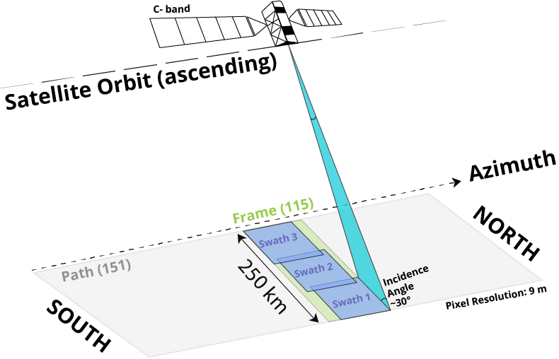
Figure 2
Inverse Thirumalai-Mountain (TM) metric for the Nakai (2008-2010) catalog for the Raton Basin seismic events Mw≥1, boxsize equal to 0.1°, calculated for every 10 days, thearrows (left to right) locate the occurrence of events Mw4.3 & 4.2, Mw3.0 and Mw4.3. 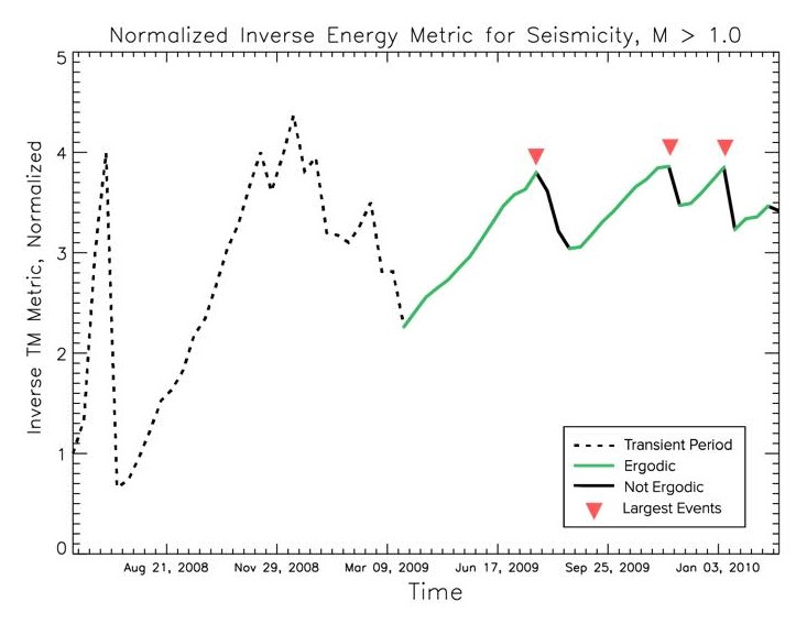
Figure 3
Edited figure for fellow researcher Jenny Nakai’s technical research paper “Near Trench 3D Seismic Attenuation Offshore Northern Hikurangi Subduction Margin, North Island, New Zealand” (Nakai et al., 2021).
BEFORE FIGURE
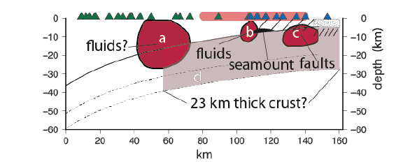
AFTER FIGURE
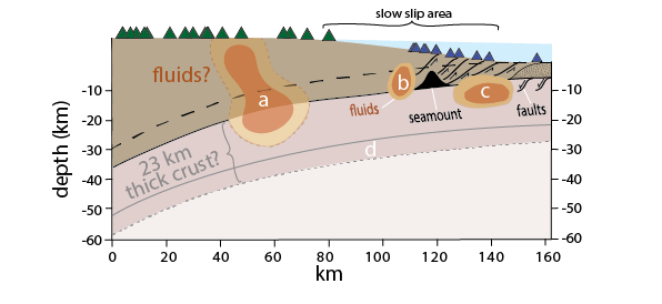
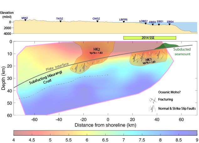
Figure 4
Edited figure for fellow researcher Jefferson Yarce’s technical research paper “Seismic Velocity Heterogeneity of the Hikurangi Subduction Margin, New Zealand: Elevated Pore Pressures in a Region With Repeating Slow Slip Events” (Yarce et al., 2021). 